I've had a fascination with maps for as long as I can remember. During family road trips to San Francisco I remember tracing our route on a map with a highlighter in real-time. Many, many years later, I am able to trace my route automatically with a GPS receiver on my phone.
I have been carrying a GPS tracker with me at all times since 2008, walking, biking, driving and flying. I use this data for various things, including:
Logging my Transport
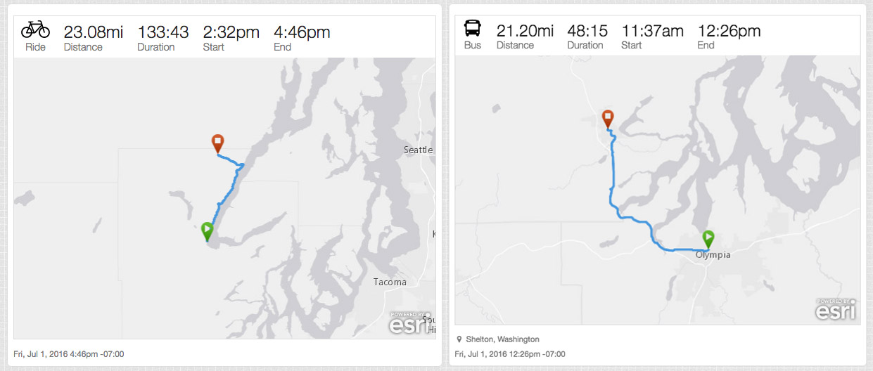
I log my bike rides, flights and other ways I travel around from this GPS data.
Displaying my local time and local weather
The header of my website always shows my local time and the current weather at my location.
The background image of this website is a large map centered around my current approximate location.
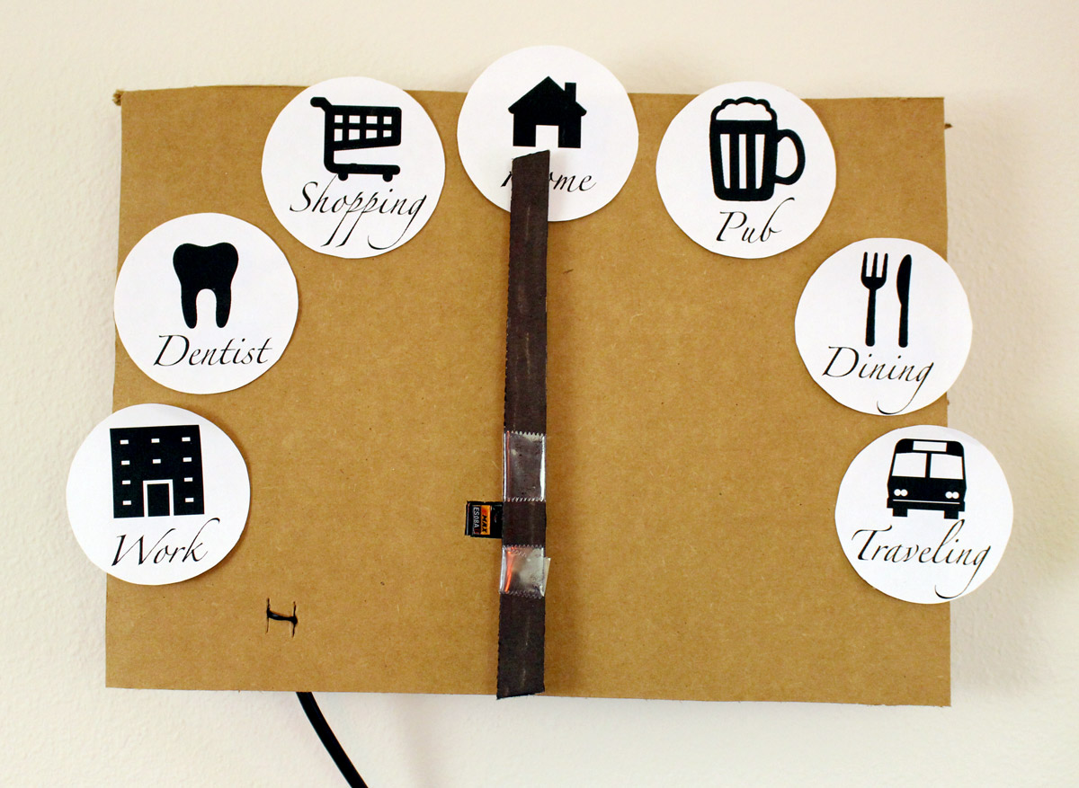
A Magic Clock
I have a "magic clock" in my house that points to where I am. "Home," "Work" and "Traveling" are based on my GPS location. The others are based on Foursquare checkins.
Geotagging my Posts
Nearly every post on my website is geotagged based on where I am when I posted it. When the device I use to create the post doesn't have a source of location, my website looks up my location from the GPS tracker and uses that location for the post. This is also used to set the correct timezone for each post.
Geotagging my Photos
I don't have a GPS logger in my digital camera, so my photos don't have location data in them. When I upload them to my photo archive, I query my GPS logs to find out where I was when I took the photo.
How it Works
Over the years, I've gone through a few iterations of the software and hardware that makes this work. Here is my current setup, running since 2014.
- My iPhone running my own app, Overland. The application is ugly, but it's the only one that behaves exactly how I want.
- A server-side API, Compass, which receives GPS logs from the iPhone and stores the data on disk. This also provides an API that various other systems can query.
Previously, I've used other software and hardware:
- 2012-2014 An iPhone running the Geoloqi application
- 2010-2012 An Android phone running Instamapper, pushing to the Geoloqi API
- 2009-2010 A Windows Mobile phone running trackr.eu
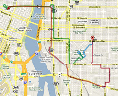
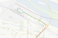
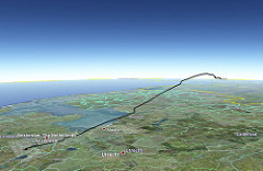
Visualizations
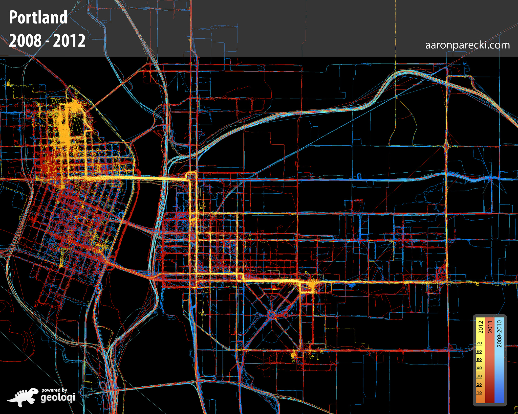
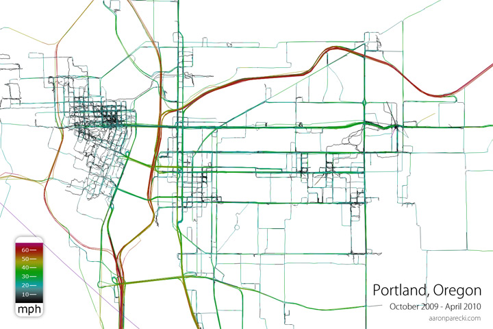
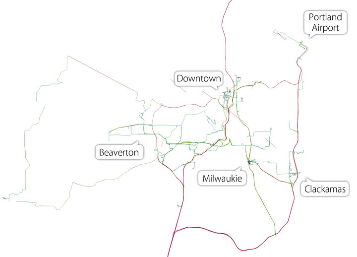
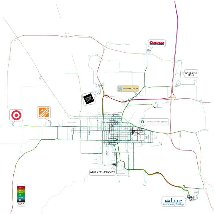
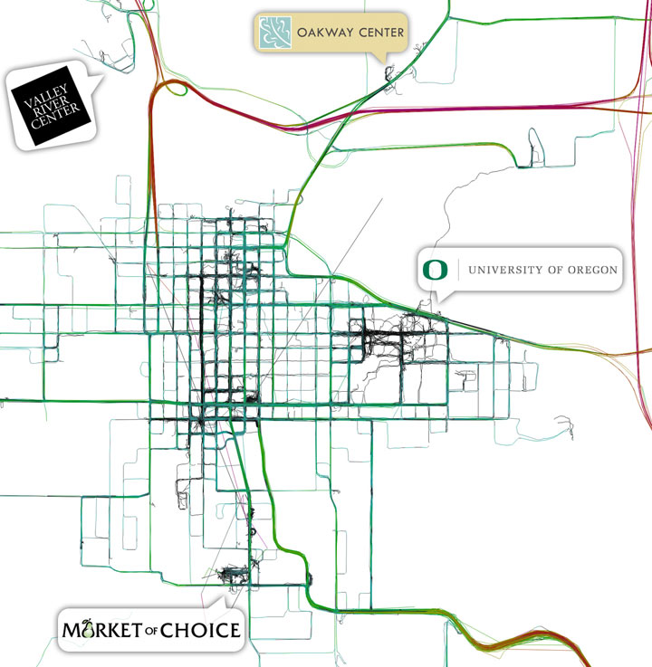
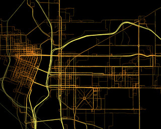
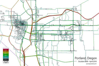
Below are images generated solely from the GPS data. There is no underlying map. The color of the lines corresponds to the speed I was traveling. Frequently-traveled paths appear thicker because of how many overlapping tracks there are.
Portland, Oregon
Eugene, Oregon
Animated
Read more about Geonotes, Proximal Notification Systems, and Automatic Check-ins with GPS and SMS
More photos on flickr

Hey Aaron! What software/library are you using to generate those maps with your location? Can they be considered heat maps? And what about the animated video?